


More of Don's
photo series.
The Historic Columbia River Highway, which runs 90 miles from just east of Portland on the west to The Dalles on the east, was completed in 1915 as a work of art, a pleasure drive for the well-to-do families of Portland. They could leave Portland in the morning, drive along this beautifully laid-out highway through the Columbia River Gorge, stopping to admire the waterfalls and the mountains, picnicking at any of the many rest areas, chatting with friends on the way; at The Dalles they turned around and drove back, seeing things from a different perspective.That was at least one of its original purposes. But that concept didn't last long. The 1920's was the decade when automobiles went from being a "rich man's toy" to "every man's necessity." In just a very few years, practically all the traffic on the highway was not out for a pleasure drive, but out to get someplace. The highway department very soon began straightening the curves and widening the pavement so cars--and then trucks--could make time.
Shortly after World War II, a water-level expressway was built from Portland to Hood River, a forerunner of Interstate 84, which was constructed in the 1960's, bypassing and replacing much of the old highway. Many of the most scenic spots were bulldozed or blasted out of existence. One beautiful tunnel with "windows" and a walkway overlooking the Columbia was blasted away to make room for the freeway. Other tunnels were filled with rubble.Fortunately, some of the highway was saved for a scenic route; other parts, long unused, were rediscovered. In the 1980's a move began to restore the remaining parts of the road, either as roadway or as trails, a project still underway.
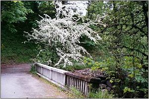
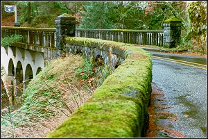
This section of the road, near Bonneville Dam, is now part of the Columbia Gorge Trail. You can see where the bridge has been restored.
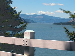
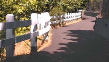
The trail between Starvation Creek Falls and Vienta State Park follows the route of the Historic Columbia River Highway also. Here you can see the old wooden guardrails (restored) and views of the mighty Columbia below.
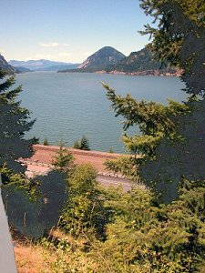
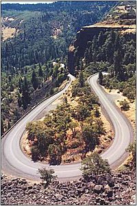
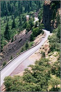
Here is the highway at about halfway through the Gorge.
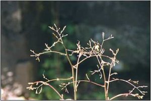
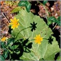
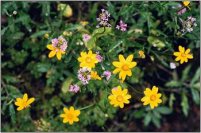
Roadside wildflowers bloom profusely along the length of the Historic Columbia River Highway. These were at a pullout between Multnomah Falls and Crown Point.
More to come.
Index Next
©D.L. Mark 1999-2007