


More of Don's
photo series.
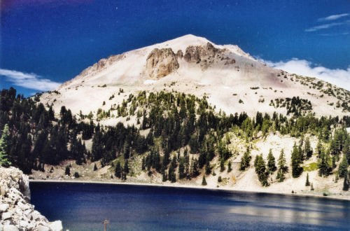
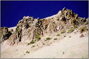
Lassen Peak
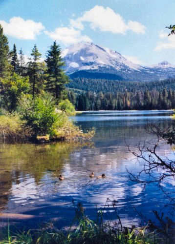
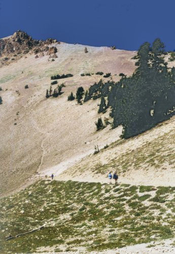
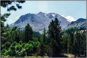
Lassen Peak, in northern California, is the southernmost of the high Cascade peaks; its elevation is 10,457 feet. It is snowcapped throughout most of the year, but in late summer the snow is generally gone. At this time it can be climbed clear to the top on a trail which requires no actual mountain climbing. On a nice day you can see a line of people of all ages and most physical conditions hiking along the trail to the top.
The peak is the main feature of Lassen Volcanic National Park, but the park has sections which are reminiscent of Yellowstone. Lassen Peak erupted several times between 1914 and 1921; however, there are minor eruptions in various places in the park all the time.
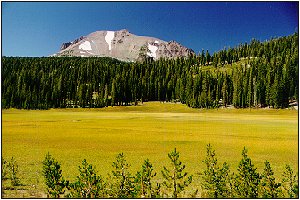
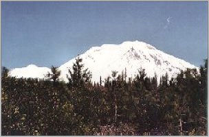
Upper King's Creek Meadow. Lake Helen will someday be a meadow.
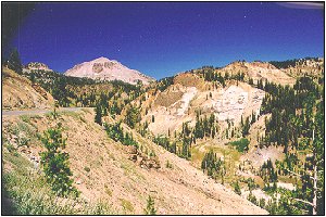
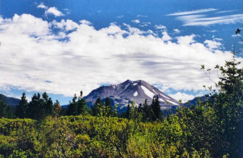
The Lassen Park Road takes you over 8,000' up through a landscape of mountains, lakes, meadows, snowfields (sometimes), and jumbled, chaotic canyons. This vista exposes all of the typical features of volcanic areas. The shot on the right is of the Lassen summit.
The Devastated Area (left photo) was aptly named after the eruptions early in the 20th century. At that time nothing was growing here. After more than 80 years, though, nature's reforestation is well under way. From about 6,500 feet elevation. The second photo was taken in Hat Creek Valley, southeast of Lassen Peak.
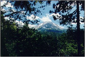
The view from the northeast in late August. In a few weeks Lassen will again be blanketed in snow.
More about the Lassen Peak/Mt. Tehama area.
©D.L. Mark 1997
| Cascade Peaks Navigation Cascade Peaks Index Next Higher Next Lower Special Cases | National Parks Navigation |