


More of Don's
photo series.
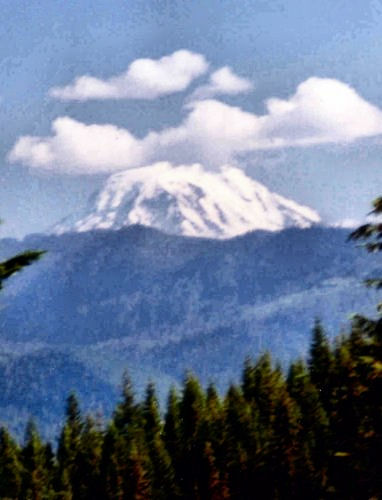
Mount Adams from the south, slightly west — from the grounds of the Trout Lake High School. Those kids have a nice view here; the summit is only about 15 miles distant. This was in August, with the snow mostly gone, just a few glaciers showing white.
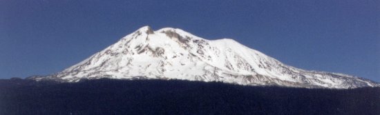
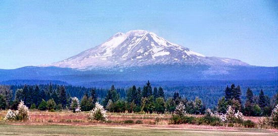
Mount Adams as seen from due south. Before the eruption of Mount St. Helens in 1980, people hereabouts thought of these volcanoes as being beautiful; now the mountains seem ominous (but still beautiful). If Adams would erupt as St. Helens did, but to the south, the towns of White Salmon and Bingen, Washington, and Hood River, Oregon, would be no more. However, Mount Adams' eruptions have mostly been quiet lava flows or small debris flows, so these towns, about 40-50 miles to the south of Mount Adams, are probably not threatened.
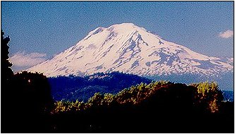
Mount Adams as seen from the north. You can see why Mount Adams is not considered to be one of the most beautiful of the Cascade peaks. From this direction it looks sort of odd. Mount Adams from due west about 10 miles.
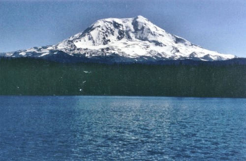
Mount Adams from the northwest, Lake Takhlakh.
Mount Adams is referred to as the "forgotten giant of Washington." It was not explored until early in the 20th century, and not explored scientifically until the 1980's.
As with several other Cascade peaks, the name is the result of an error. When they were attempting to name the Cascade peaks after presidents of the US, Mount St. Helens was to become Mount Adams. The mapmaker placed the mountain too far east on the map; fortunately there happened to be a mountain at that spot, and the name stuck.
The Indian name was Pah-too, meaning "high sloping mountain."
USGS maps, photo, information.
Cascade Peaks Index | Next Higher | Next Lower | Special Cases