


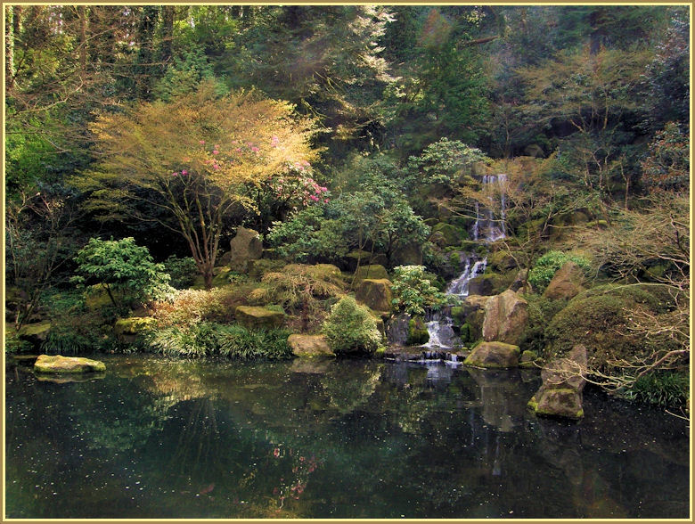


More of Don's
photo series.
Mount McLoughlin
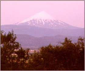
Mount McLoughlin is located in southern Oregon; it is 9,495 feet in elevation. Driving south on I-5 just north of Medford, you come over a hill, and there in front of you is Mount McLoughlin—an "oooh & ahhh" sight if ever there was one. In the summer it is bare of snow, but in the winter completely covered. This is a springtime shot.
Spring and summer.
They say Mount McLoughlin is about 100,000 years old, and last erupted about 2,000 years ago.
In the Medford area Mount McLoughlin is often referred to as "Mount Pitt" [an early name, after the pits local Indians dug to entrap elk; variations were "Mount Pit" and "Pit Mountain." These names were also applied to Mount Shasta]. Early maps also identified the mountain as "Shastise" or "Shasty." Peter Skene Ogden is often credited for naming Mount Shasta; his journals indicate that the mountain he referred to as "Shastise" was almost certainly Mount McLoughlin, not Mount Shasta.
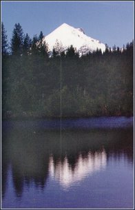
From some directions this Cascade peak is almost perfectly symmetrical, like Mount Fuji in Japan. This shot is from the south, a bit to the west. . .
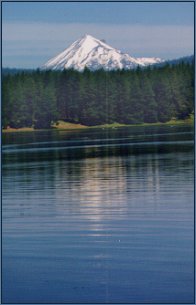
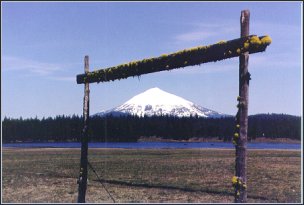
. . .this one from the southeast about 30 miles. . .
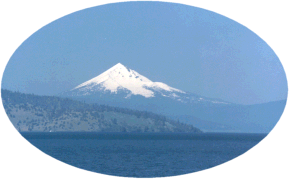
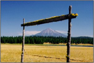
. . . and this one from due east, across Upper Klamath Lake, 20-odd miles distant.
©D.L. Mark 1997